 Alte Geodatensuche Niedersachsen
Keyword
Vechta
Type of resources
Topics
Keywords
Contact for the resource
Provided by
Years
Formats
Representation types
Update frequencies
status
Scale
From
1
-
3
/
3
-
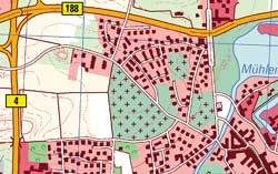
Amtliches Topographisch-Kartographisches Informationssystem (ATKIS): Digitales Landschaftsmodell 1:25000; Basis-DLM25; räumliche Ausdehnung: LK Vechta
-
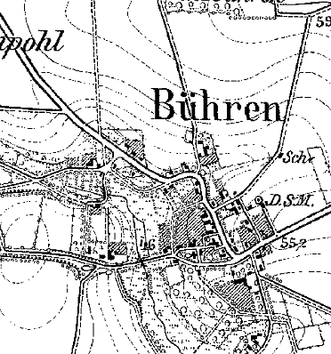
TK25-Erstausgabe der Preußischen Landesaufnahme; Landkreis Vechta; erstellt 1877-1912; räumliche Ausdehnung: LK Vechta
-
Geltungsbereiche der rechtskräftigen Bebauungspläne und Satzungen inkl. Änderungen für die Stadt Vechta.